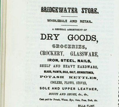
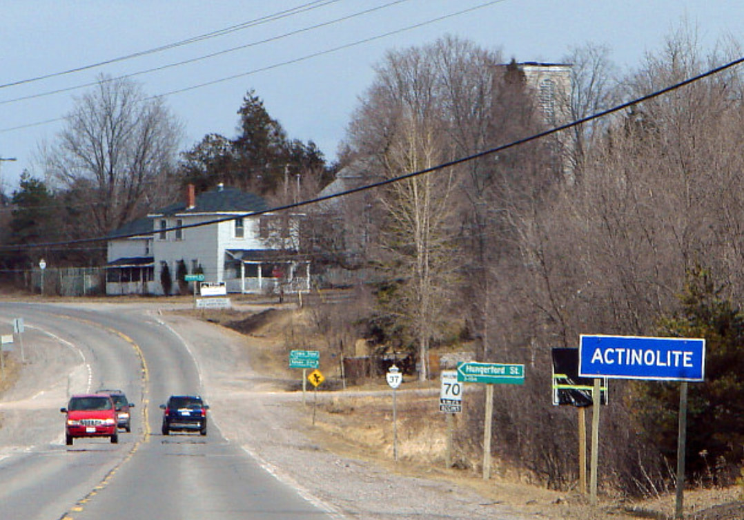
We often talk about the early days of the German Settlement and what life was like, and have mentioned several times about the opportunities for the younger people to meet, often suggesting the Market in nearby Bridgewater as one of those opportunities.
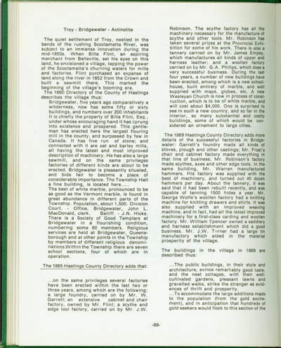
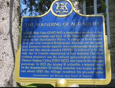
The community began as a tiny village called Troy, basically in the middle of nowhere at the junction of Hungerford and Elzevir Townships, but located on a fast moving section of the Skootamatta River.
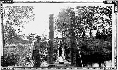
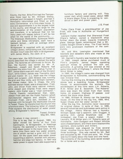
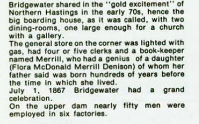
In the 1850s a lumberman named Billa Flint purchased a large section of land along the river and built a large lumbermill. The community flourished and by 1860 was named Bridgewater. More and more businesses soon opened, a flour mill, a General Store, a furniture store, and so on. By the 1870s over 500 people lived here, and the various businesses were the focal point for anyone living within 10 or 15 miles. The German Settlement was just 4 kilometers away (2 1/2 miles). Most of the residents in the German Settlement lived on the north side of the Skootamatta River and would have used a footbridge to shorten their travel time to Bridgewater.
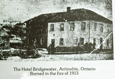
When built, the Bridgewater Hotel was the largest and most lavish hotel in Hastings County. It was too big for the area (and too expensive) but Bella Flint believed the area would continue to develop into an industrial centre. Although it survived the fire of 1889, it burned to the ground in 1913.
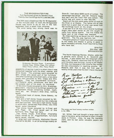
In 1889 a devastating fire destroyed most of the village, from which it never fully recovered. Soon after, a mine was opened for a large amount of a soft mineral called actinolite, and in 1895 the remnants of Bridgewater was renamed Actinolite.
A large mine operation for the mineral actinolite commenced in the area in the 1880s and 1890s, and in 1895 the remnants of the Bridgewater were renamed as the village of Actinolite.
Today Actinolite is a sleepy backwater just off the highway 37 and highway 7 intersection.
Hopefully, most of the pages and photos shown below from Times to Remember in Elzevir are legible enough to read.
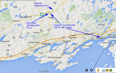
The map below shows the general area on the north shores of Lake Ontario, Prince Edward County which is a peninsula out into the lake, Hastings County immediately north, Kingston and Frontenac County to the east. The most arable lands on this map were those immediately along the shores of Lake Ontario (about as far as the east west expressway 401), and these were mainly settled by the United Empire Loyalists through land grants. The lands to the northeast of Kingston, as far as the east west highway 7, were largely settled by the floods of indigent Irish and English families during the 1840s. And the basically non-arable lands of Elzevir and other Townships on the north side of highway 7 were essentially "given away" to anyone who would settle there and meet basic conditions of clearing a certain amount of land and a habitable dwelling within two years.
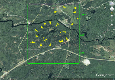
The Google Earth satellite view shows the area encompassed by the German Settlement and the yellow deltas mark the areas that were cleared for crops, the outlines of these fields can still be seen more than 100 years later. A footbridge, similar to the photo below, connected the two sides of the German Settlement.
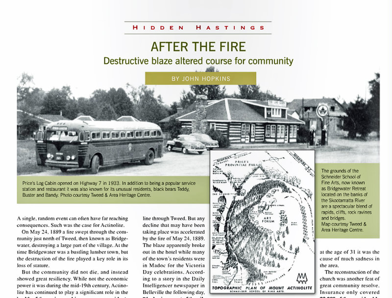
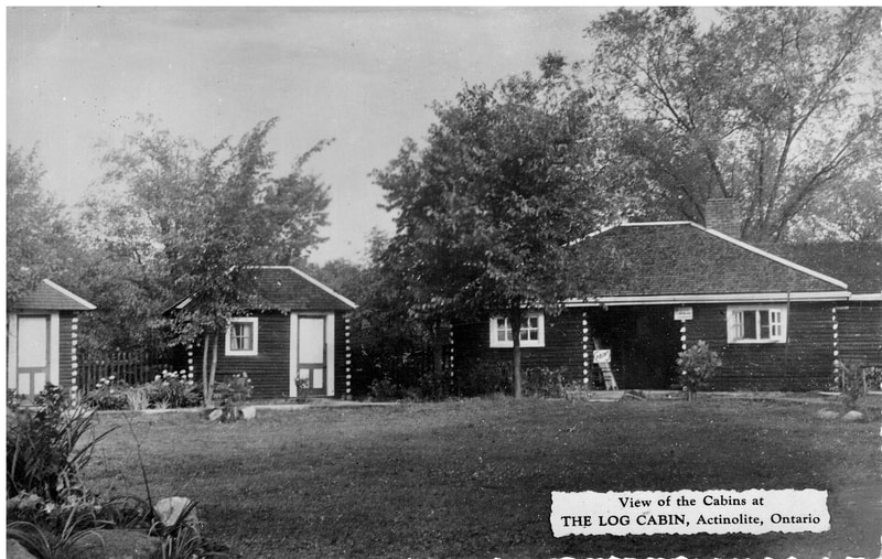
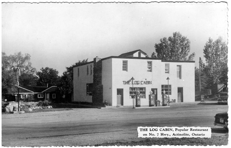
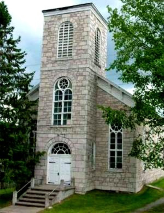
Actinolite never recovered its economic prosperity which was based on logging, mining, and being a mercantile centre. One of the few buildings that survived the great fire of 1889 was the marble church. During the 1930s as Highway 7 was built to replace the poor road to Kaladar, a bus stop restaurant and store with motor court cabins was built (largely using the logs from the old Kleinsteuber church from the nearby German Settlement. It had a tourist attraction of caged black bears, a store that sold Indian moccasins and trinkets, and the restaurant was later rebuilt.
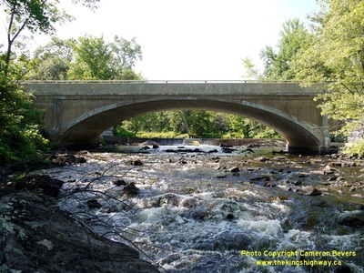
Today Actinolite is primarily a country village on the Skootamatta River to drive through.
Today Actinolite is primarily a country village on the Skootamatta River to drive through.
