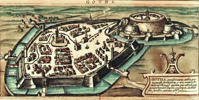
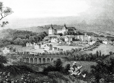
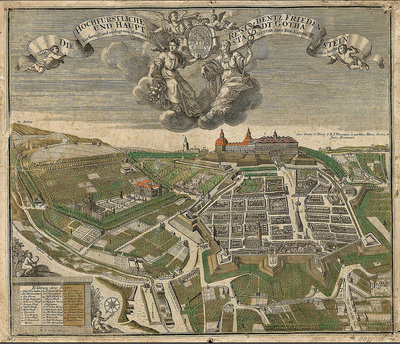
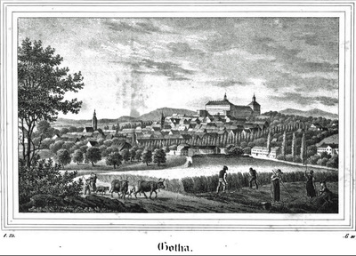
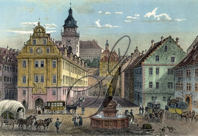
Images above are from 1500s through 1850: Click on photos to enlarge & read captions
Gotha, Germany – History
Today, Gotha is the fifth-largest city in Thuringia, Germany, located 20 kilometres (12 miles) west of Erfurt and 25 km (16 miles) east of Eisenach with a population of 44,000. The city is the capital of the district of Gotha and was also a residence of the Ernestine Wettins from 1640 until the end of monarchy in Germany in 1918. The House of Saxe-Coburg and Gotha originating here spawned many European rulers, including the royal houses of England, Belgium, Portugal (until 1910) and Bulgaria (until 1946).
Gotha lies in the southern part of the Thuringian Basin in a flat and agricultural landscape and has existed at least since the 8th century, when it was mentioned in a document signed by Charlemagne as Villa Gotaha ("Good Waters") in 775. The city generated wealth because it was conveniently located at the junction of two important long-distance trade routes: the Via Regia from Mainz and Frankfurt to Leipzig and Breslau and a north-south route from Mühlhausen over the Thuringian Forest to Franconia.
In 1180, Gotha was first mentioned as a city, when the area between Brühl and Jüdenstraße became the core of urban development, highlighting the early presence of Jews in this old trading town.
The parish church of this first urban settlement was St. Mary's Church (demolished in 1530) at Schlossberg. The castle (at the site occupied today by Friedenstein Castle) was first mentioned in 1217. As the Ludowingians died out in 1247, Gotha became part of the Wettins' territories, where it remained until 1918.
The monastery (first Cistercians, since 1258 Augustinians) was founded before 1251 and abandoned in 1525. Until 1665, the bourse of Gotha was located in the centre of Hauptmarkt square inside the Renaissance building, which hosts the town hall today. The medieval town hall was located on the north-eastern edge of Hauptmarkt, at the site of today's Innungshalle.
Water supply was a big problem, because Gotha is not located on a river. In 1369, Landgrave Balthasar had the Leinakanal built. This channel, over 25 kilometres long, brought fresh water from the Thuringian Forest (Hörsel and Apfelstädt rivers) to the city.
Between 1650 and 1850, Gotha saw a cultural heyday as a centre of sciences and arts, fostered by the dukes of Saxe-Gotha. The first duke, Ernest the Pious was famous for his wise rule. In the 18th century, the Almanach de Gotha was first published in the city. The cartographer Justus Perthes and the encyclopedist Joseph Meyer made Gotha a leading centre of German publishing around 1800. In the early 19th century, Gotha was a birthplace of the German insurance business. The SPD was founded in Gotha in 1875 by merging two predecessors. In that period, Gotha became an industrial core with companies like the Gothaer Waggonfabrik, a producer of trams and airplanes.
 RSS Feed